MEFEBF Schiehallion British Mountain Map
18.5
- Home
- Equipment
- Walking Equipment
- Maps & Compasses
- Schiehallion British Mountain Map


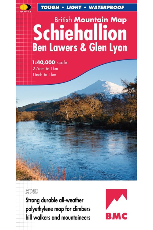
Schiehallion, Ben Lawers & Glen Lyon British Mountain Map. Detailed map of 42 challenging Perthshire hills on one sheet at 1:40,000 scale.
Map extension covers the Munro, Ben Chonzie.
In total, the map area includes 27 Munros, 15 Corbetts and 4 Grahams.
Tough, light, durable and 100% waterproof. Genuine original HARVEY mapping. Tried and tested by the British Mountaineering Council and Mountaineering Scotland.
Technical Specification
• Scale: 1:40,000
• Ratio: 2.5cm = 1km
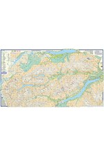
• Flat size: 1238 x 695mm
• Folded size: 124 x 235mm
• Weight: 90gms
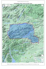
• Area of mapping: 1383sqkm
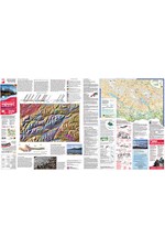
• Double sided
Code: MEFEBFMap extension covers the Munro, Ben Chonzie.
In total, the map area includes 27 Munros, 15 Corbetts and 4 Grahams.
Tough, light, durable and 100% waterproof. Genuine original HARVEY mapping. Tried and tested by the British Mountaineering Council and Mountaineering Scotland.
Technical Specification
• Scale: 1:40,000
• Ratio: 2.5cm = 1km
• Flat size: 1238 x 695mm
• Folded size: 124 x 235mm
• Weight: 90gms
• Area of mapping: 1383sqkm
• Double sided
Product Details
Schiehallion, Ben Lawers & Glen Lyon British Mountain Map. Detailed map of 42 challenging Perthshire hills on one sheet at 1:40,000 scale.
Map extension covers the Munro, Ben Chonzie.
In total, the map area includes 27 Munros, 15 Corbetts and 4 Grahams.
Tough, light, durable and 100% waterproof. Genuine original HARVEY mapping. Tried and tested by the British Mountaineering Council and Mountaineering Scotland.
Technical Specification
• Scale: 1:40,000
• Ratio: 2.5cm = 1km
• Flat size: 1238 x 695mm
• Folded size: 124 x 235mm
• Weight: 90gms
• Area of mapping: 1383sqkm
• Double sided
Code: MEFEBFMap extension covers the Munro, Ben Chonzie.
In total, the map area includes 27 Munros, 15 Corbetts and 4 Grahams.
Tough, light, durable and 100% waterproof. Genuine original HARVEY mapping. Tried and tested by the British Mountaineering Council and Mountaineering Scotland.
Technical Specification
• Scale: 1:40,000
• Ratio: 2.5cm = 1km
• Flat size: 1238 x 695mm
• Folded size: 124 x 235mm
• Weight: 90gms
• Area of mapping: 1383sqkm
• Double sided
Delivery & Returns
UK Deliveries
- FREE UK Standard Delivery within 3-5 working days on orders over £20
- £2.50 UK Standard Delivery on orders under £20
- £3.95 UK Mainland Express Delivery within 2-3 working days
- Orders are sent via Royal Mail
UK Return & Refund Policy
- Orders can be returned within 60 days of receipt
- The products must be in their original packaging, with all tags and in original condition
- Customers are responsible for return shipping costs, except for products that are faulty or damaged upon delivery
- For faulty or damaged items, please contact Mountain warehouse Customer Service team
Return method:
- Pack the items to be sent back securely in suitable protective packaging
- Print and fill out the return slip, and make sure to include it inside the package you're returning.
- Post your item to the address below and keep the tracking receipt as proof of return. For your convenience, follow here to the Royal Mail Returns Portal/Parcel2Go to arrange return postage for your items. These are not Mountain Warehouse operated services.
- Please retain proof of postage until it has been confirmed that your refund has been processed.
- Please note that items sold by HARVEY Maps cannot be returned to Mountain Warehouse stores
Return address:
Returns
HARVEY Maps
12-22 Main Street
Doune
FK16 6BJ
For more information or help, please contact Mountain Warehouse's Customer Care.


